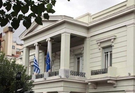
Greece Maps Maritime Limits for First Time
Greece has officially recorded the furthest potential limits of its continental shelf for the first time through the National Spatial Strategy for Maritime Space (NSSMS), Foreign Affairs Minister George Gerapetritis announced in an interview with Skai TV on Wednesday, CE Report quotes Athens-Macedonian
The NSSMS, published by the Environment and Energy Ministry in collaboration with other agencies including the Foreign Ministry, outlines Greece’s Maritime Spatial Planning (MSP). Gerapetritis called it “a very important day,” highlighting that the move aligns with International Law and fulfills a European Court obligation requiring Greece to issue maritime maps by April 27, under EU Directive 2014/89/EC.
He also acknowledged that while Turkiye has released its own maritime maps, any discrepancies could be addressed through mutual understanding and dialogue.